Drivers of Historical Change in the Delaware Estuary
 Lead: Taznin Naher
Counselors: Jorge Lorenzo-Trueba, Sönke Dangendorf
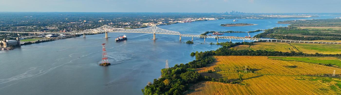
This project examines how human activities have reshaped the Delaware River Estuary over the past century. It focuses on documenting and quantifying historical changes in channel geometry and shoreline structure resulting from dredging, shoreline hardening, and flood-control projects. By integrating archival maps, digitized bathymetric surveys, and long-term tide-gauge records, the research aims to build a comprehensive spatial and temporal database of estuarine modification. These data provide the foundation for understanding how anthropogenic alterations influence tidal behavior and set the stage for process-based modeling and future flood hazard assessments.
Go back to Coastal Climate Risk Focus Area
Products
Other Projects in this Focus Area
Sea-Level Rise Variability in the MACH Region
Hurricane Modeling
Nor'easter Modeling
Regional-Scale Hurricane and Nor'easter Flood Modeling
Modeling Storm Scenarios for Flood Hazard Analyses
Street-Level Flood Hazard Analysis
Impact of River Bed Changes on Estuary Water Levels
Power System Modeling
Humid Heat Stress Extremes
Storm Damage to Local Buildings
Extreme Heat Impacts
Building Exposure Mapping
Regional Impacts of Beach Nourishment
Barrier Island and Habitat Modeling for Conservation Management
Berm Dune Monitoring
Human Impacts on Barrier Island Evolution
Urban Heat & Air Quality Surveillance for Proactive Healthcare in New Jersey