Building Exposure Mapping in Philadelphia
 Lead: Jie Gong
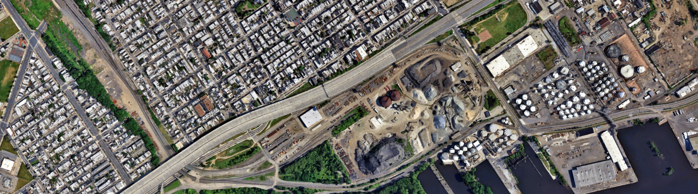
To reduce the uncertainty in building data, we will develop and use AI-powered tools to extract city-scale flood related building data, such as first floor elevation, building diagram, etc. The data will be used in combination with flood simulation results to better characterize the flood exposure and vulnerability of buildings in Philadelphia. In addition to flood exposure for buildings, we will also create maps of disruptions of emergency services at the household level with road inundation data.
Go back to Coastal Climate Risk focus area
Products
Publications
Publication One, author, title, date. Publication One, author, title, date. Author, title, date. Publication One, author, title, date.
Publication Two, author, title, date. Publication One, author, title, date.
Video
Other Projects in this Focus Area
Sea-Level Rise Variability in the MACH Region
Tropical Cyclone Modeling
Extratropical Cyclone Modeling
Regional-Scale Tropical and Extratropical Cyclone Flood Modeling
Statistical Analysis of Inundation Model Boundary Conditions
Probabilistic Local (Street-Level) Flood Hazard Analysis for MACH Study Sites
Effect of Bathymetric Changes on Water-Level Variation in Estuaries
Power System Modeling
Humid Heat Stress Extremes
Local Building Stock Physical Damages
Building Exposure Mapping in Gloucester City
Model Barrier Migration
Past Morphological Change Barriers
Berm Dune Monitoring
Past Morphological Change in the Delaware Estuary