Building Exposure Mapping

 Lead: Holly Josephs, Yifan Wang
Counselors: Jie Gong
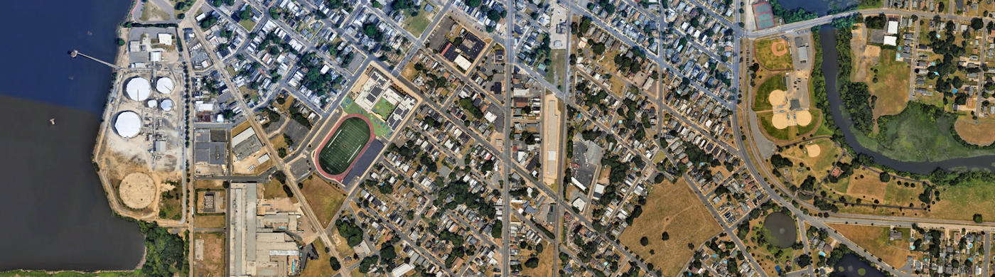
This research addresses the need to better understand how projected flooding may impact individual properties. Using a mobile van equipped with LiDAR, researchers collect 3D scans of buildings at risk of flooding and use AI to extract first floor elevation data within the MACH region. This data is collected and available for integration with MACH-produced localized compound flood modeling data and/or local government hazard information. The data can be used in combination with flood simulation results to better characterize the flood exposure and vulnerability of buildings. In addition to flood exposure for buildings, researchers will also create maps of disruptions of emergency services at the household level with road inundation data.
Products
MACH Supported Publications
Li, Y., Wang, Y., & Gong, J. (2025). An integrated metric for rapid and equitable emergency rescue during urban flash flooding events. International Journal of Disaster Risk Reduction, 118, 105209.
DOI: 10.1016/j.ijdrr.2025.105209
Wang, Y., Josephs, H., Duan, Z., & Gong, J. (2024). The impact of electrical hazards from overhead power lines on urban search and rescue operations during extreme flood events. International Journal of Disaster Risk Reduction, 104, 104359
DOI: 10.1016/j.ijdrr.2024.104359
Other Publications
Xia, J., & Gong, J. (2024). Computer vision based first floor elevation estimation from mobile LiDAR data. Automation in Construction, 159, 105258.
DOI: 10.1016/j.autcon.2023.105258
Videos